Another month down and another release out. This one is exciting since it includes two great features many map makers have been asking for, Clustering of markers and a public API.
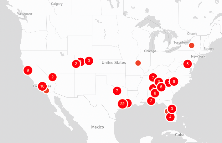
Clustering
Now by default any markers that would normal overlap or collide, will be grouped into a cluster. Clicking a cluster will zoom you in enough so that each marker can be visible without overlap.
In some cases, markers are just too close and cannot be split up. For these one off instances, clicking the cluster will open popups for all markers in the cluster group.
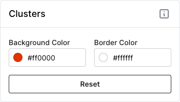
Before you ask, yes, clusters are also customizable so you can keep all aspects of your map branded to your liking.
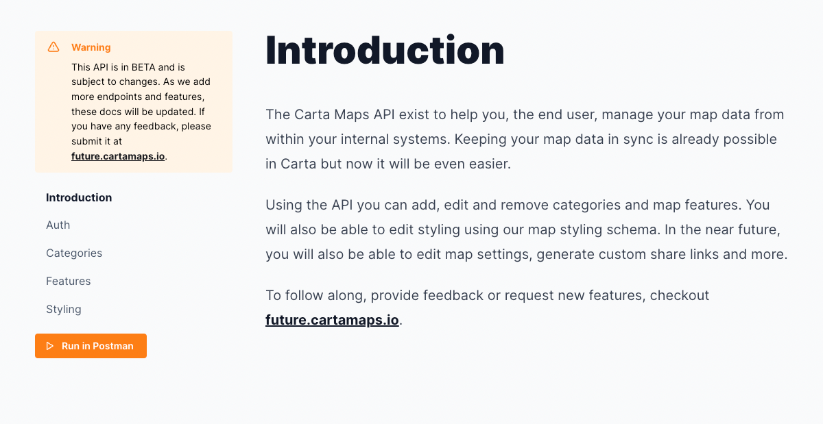
API
Our new API is ready to go! Now pro account users can leverage the API to keep their maps in sync with their internal tools and systems. Head over to our new documentation page to learn more about what is possible.
Fixes
- Fixed a bug when hiding categories was not hiding boundary features
- Fixed a bug when very thing line strings (paths/routes) were not clickable
- Fixed a bug where the filter dropdown would grow indefinitely, added a max height and ability to scroll within.